FEATURES: 
- Surveying – Field
- Surveying Tools (Plotting of Traverse and Setting)
- Automatic Import of Total Station/(GPS/GNSS) – RTK to CAD and CAD to RTK
- Geographic to Grid Computation and vice versa
- Preparation of Survey Plans
- Sketch Plan / Approved Survey Plans for DENR and LRA
- BL Plan for DENR
- Sketch Plan for Approval
- BL Plan for LRA
- Cadastral Maps
- Reports and Computations – Generating of the following Forms/Returns
- Lot Data Computation (2D/3D Network)
- Setting Computation (For setting of Monuments)
- Solar Computation
- Lot Descriptions (Old and New Formats)
- Traverse Computation
- Narrative Technical Description (NTD)
- Digital Returns
- Generating DLSD (.xml) from CAD to E-Survey (eSurveyPlan 2.4 Compatible)
- Generating pETD (.xml) for Subdivision / Consolidation / Consolidation-Subdivision (For LRA / Registry of Deeds)
- CAD to Google Earth Projection
- Generating and Processing Contours and Topographic Maps
-

"QUALITY SURVEYING FOR EVERYONE"
-

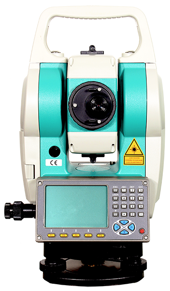
TOTAL STATION
BXR2-600
PRISMLESS UP TO 600 m
SECURITY PASSWORD
ABSOLUTE ENCODING
LI-ION BATTERY, UP TO 16 HOURS OPERATING TIME
SD CARD OR BLUEETOOTH DATA TRANSFER
DUAL, WIDE DISPLAY, 8 LINES, 18 CHARACTERS
DUAL-AXIS COMPENSATOR
-

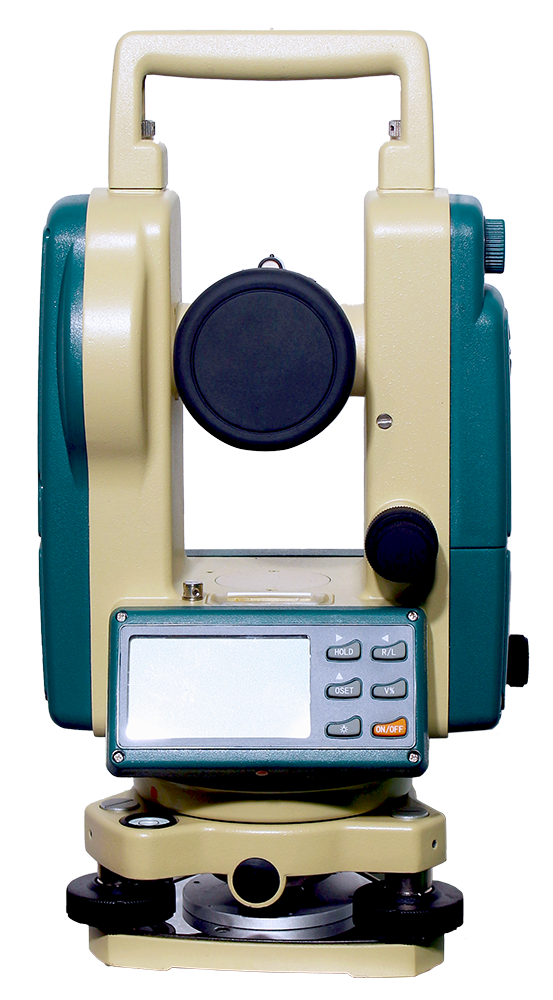
THEODOLITE
BE - 12
TILT SENSOR AUTOMATIC VERTICAL COMPENSATION
RECHARGEABLE NI-H BATTERY (36 HRS), BACK-UP AA x 4
ANGLE DETECTION
HORIZONTAL: BOTH SIDES
VERTICAL: SINGLE SIDE
-

AUTO LEVEL
BL - SERIES
COMPENSATOR TYPE : V – SHAPED WIRE SUSPENSION MAGNETIC - DAMPING
DOUBLE-RUN LEVELING TELESCOPE IMAGE : ERECT
GRADUATION INTERVAL OF CIRCLE : 1 ⁰ OR 1 GON*
SENSITIVITY OF CIRCULAR LEVEL : 8’ / 2 mm
-
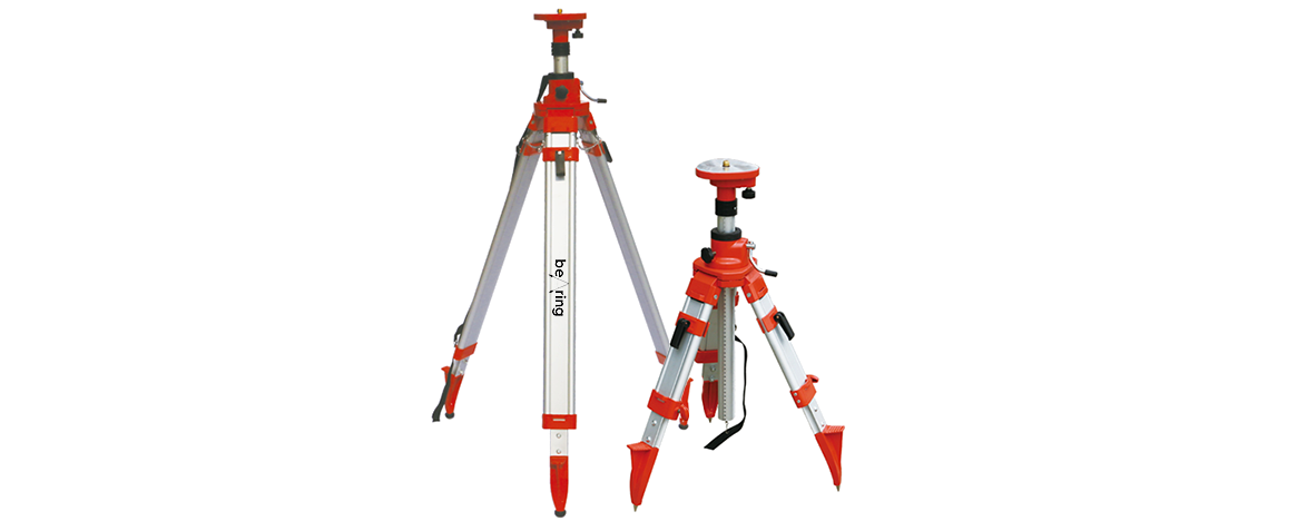
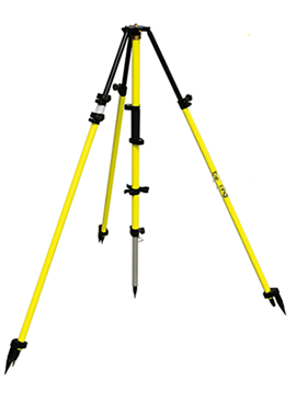
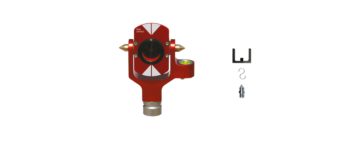
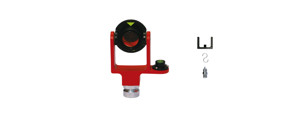
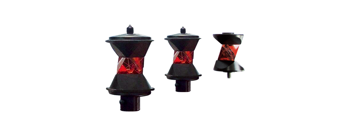
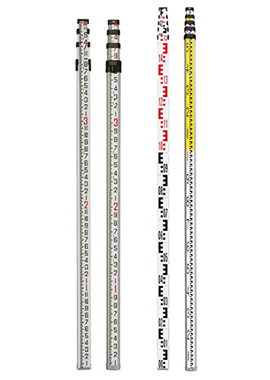
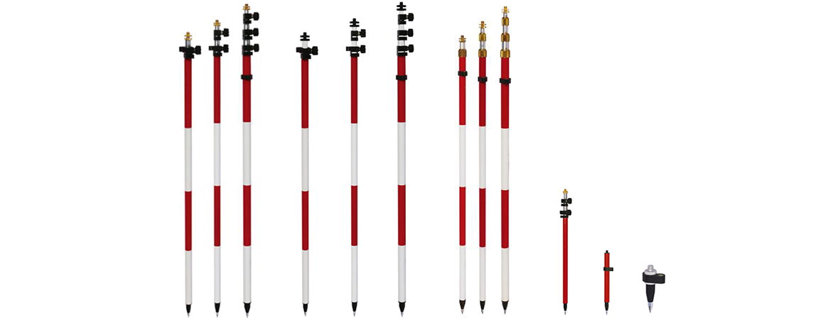
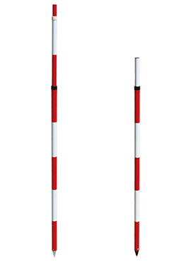
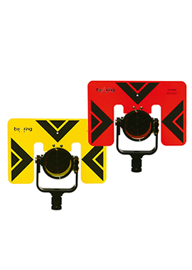
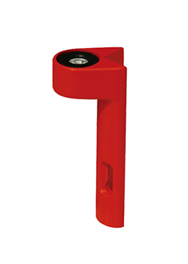
HIGH QUALITY ACCESSORIES